![]()
If we identified a method a past civilization used for locating resources or foreseeing seasonal changes, how could we protect something that significant?
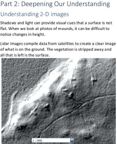
“Measuring the Earth” looks at how North American Indians used soil and stone monuments to define their world. Monuments are constructed to help us remember people, events and places that are important. The earthwork monuments in North American represent many different cultural groups and different periods of time.
Earthworks include burial mounds and rock art like pictographs, petroglyphs, and medicine wheels and other petroforms. Some earthworks functioned like calendars that marked the seasonal passage of time. Others served as landmarks that aided travelers in reaching their destinations. Careful study indicates that astronomy, geometry, and geography were important in determining the baseline for a linear or effigy mound or the placement of stones in relation to one another, the larger landscape, and the cosmos.
“Measuring the Earth” was developed in cooperation with the Nebraska Indian Education Association to answer a question.
“How do we teach our youth about the geometry inherent in Indian mounds and stone arrangements when those monuments are hundreds of miles away?
Marian Holstein, Director of Nebraska Indian Education
The learners’ eBook and lessons were one answer to that question. The is designed for independent reading by middle and high school students. The facilitator guide offers more than 40 lessons that expand on the concepts presented in the eBook. It includes a variety of hands-on activities from using a planisphere to reading topographic maps. A prototype for an online version of the first few chapters can be found here.
Some topography lessons incorporate an augmented reality sandbox developed by UC-Davis.
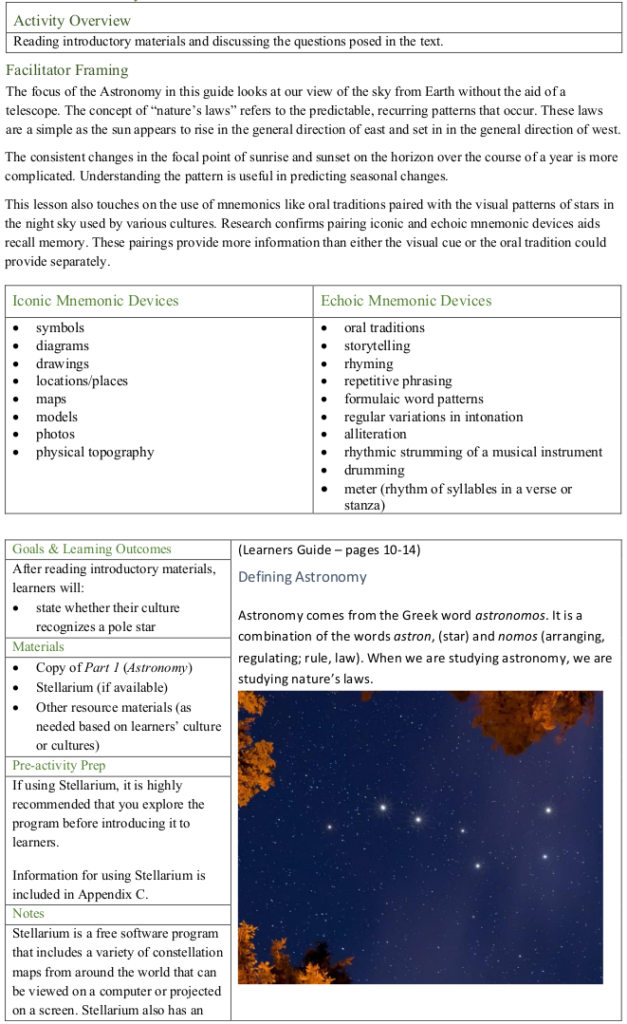
Some astronomy lessons incorporate Stellarium to help learners make simple observations that couldn’t be made in a classroom setting. Stellarium offers free, open-source software that allows time-laps observations of the sky above.
Images of sunrise near a mound at one month intervals during one year.
The facilitator guide gives educators the information they need to provide a successful learning experience. This snippet shows how the guide is set up:
The facilitator guide showcases related eBook pages. This sample eBook page shows bird effigy mounds in Wisconsin.