The word geography comes from the Greek words: geo (earth) and graphia (description). We can describe Earth using words, images, or a combination of both. The images most often used by the predominant culture are maps and globes. Maps have two dimensions: length and width. Globes have three dimensions: length, width, and height. Round globes are 3-dimensional (3-D) representations. 2-dimensional (2-D) representations include books, photographs, and drawings. Recordings, videos, and movies are some of the other media used to describe Earth.
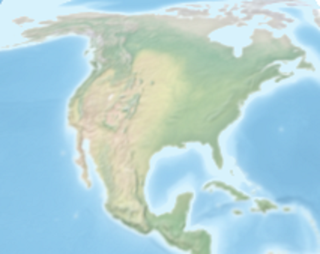
The original inhabitants of Turtle Island used the image of mud on a turtle’s back to describe Earth. Countless oral traditions use this idea of a 3-D form to describe the North American continent. Think about it. The turtle shell represents the hard bedrock. The mud represents the topsoil. This view of the continent is comparable to a subsection of a globe. It has none of the problems associated with 2-D representations.
Activity: Covering a bowl with a piece of paper.
(Insert text adapted from Facilitator Guide)
Questions:
- What could you do to the paper to make it fit better?
- When you are finished, how did your paper compare to the covering on a soccer ball, tennis ball, basketball, baseball, or softball?